Indonesia has great potential to experience landslides. The National Disaster Management Agency (BNPB) predicts that around 95% of hydro meteorological disasters will occur in 2019.
With this background, LIPI has created a Soil Movement Danger Monitoring System tool named Wiseland (Wireless Sensor Network for Landslide Monitoring) of stationery type. This tool is able to monitor various types of soil movements in real time so that it is effective with high accuracy because it is equipped with a sensor network and has been implemented in several landslide-prone areas, including in Bandung, Purwakarta and Banjarnegara regencies.
With the needs in the field during the disaster emergency process, the research team is currently developing a mobile type of Wiseland (Mobile Wiseland). By having the same advantages as the type of stationary, the difference in the type of mobile lies in the gateway that can be portable and has high mobility.
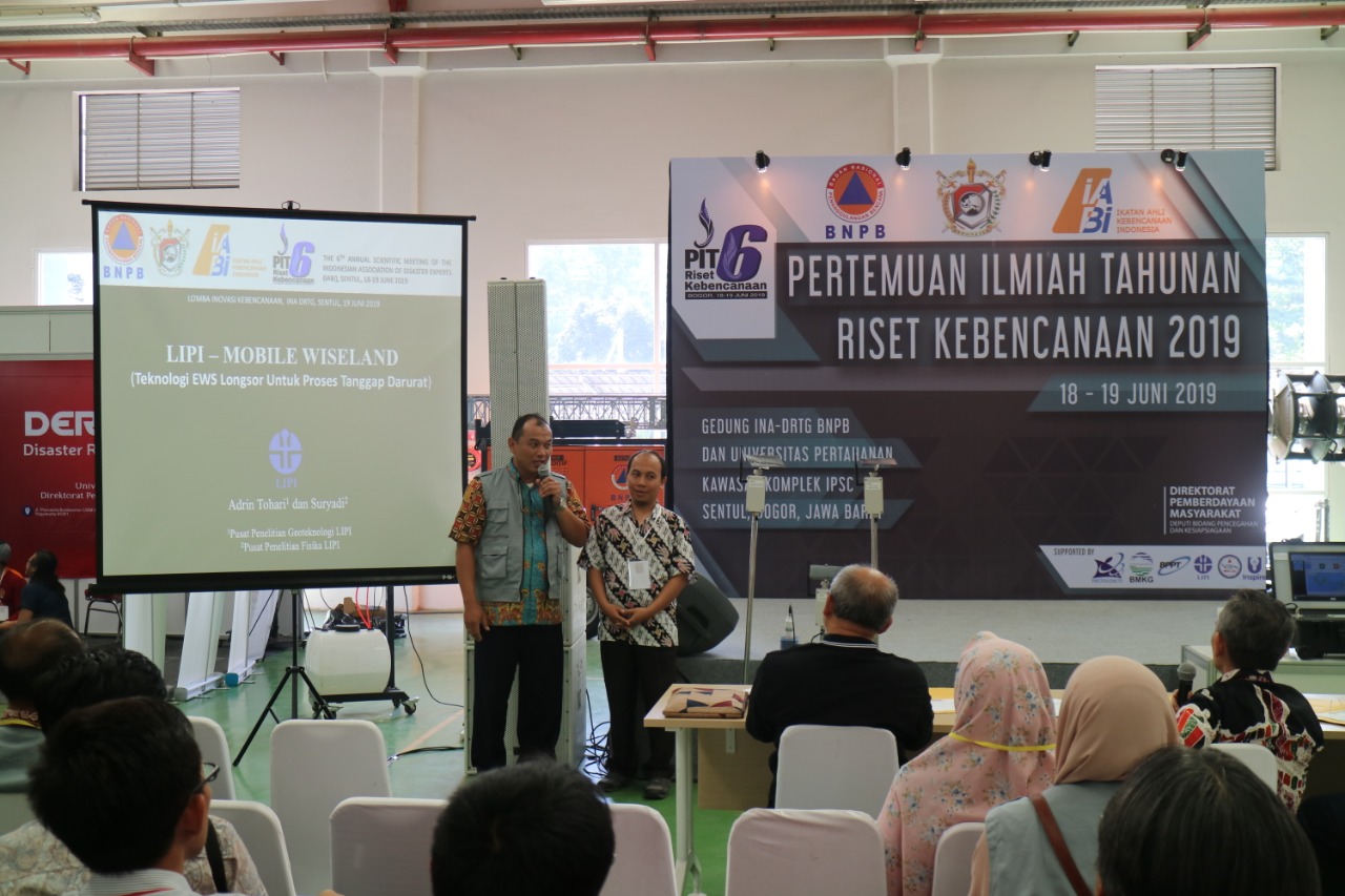
Dr. Ir. Adrin Tohari, M. Eng., A researcher at the LIPI Physics Research Center with Suryadi, ST, a researcher at the LIPI Geotechnology Research Center as an inventor, presented the Mobile Wiseland at the 2019 Disaster Research Annual Scientific Meeting organized by BNPB in Sentul Bogor on 18-19 June 2019 , where LIPI became the finalist of the disaster prepared innovation competition.
Seeing the frequent occurrence of landslides, making this tool important to be used to prevent the increase in casualties. “So far, if landslides occur, observations for aftershocks are only carried out visually. Of course this has many limitations that allow the SAR team who evacuated to become victims,” said Adrin.